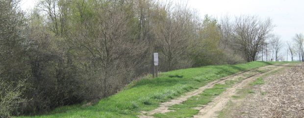
Remnants of Lock
17 N are 300 to
400 feet north of the SR 66 - SR 81 intersection on the west side of the Miami and Erie Canal.
The canal continues to be of greater depth and steeper grade than other area locks.
Silt is
composed of small particles commonly carried by moving water and settle in
queiter water. Without canal maintaince, years of silt has filled in
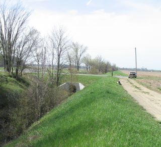
most of the canal in areas near locks 9 & 10. The narrow terrain of
the Miami and Erie Canal in areas between lock 17 and lock 22 are examples
of how half the canal was dredged out and the soil having been placed into
the remaining half of the canal. Wider areas, such as those at
Spencerville and Prairie Creek, have had recent
extensive dredging.
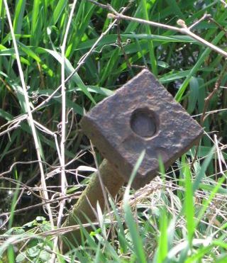
Picture below is an iron anchor that held various wooden sections of the canal locks in place.
This device is the most noticeable remaining remnant of the various wooden
locks.