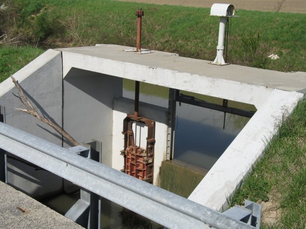

The 1999 spillway reconstruction across the road from the Spencerville Waste Water Treatment continues to provide the ability to drain the canal for repairs along and to maintain water levels flowing to Delphos vs. going down the drainage ditch.
The word "Weir" picture on the plot map is defined at dictionary.com as "A dam placed across a river or canal to raise or divert the water, as for a millrace, or to regulate or measure the flow."
A section of original stone work is still visible at the base of the southwest corner of the bridge. Note the terrain here allows water to flow from the canal in comparison to a creek flows into the canal at Lock 16.
Home [Next]