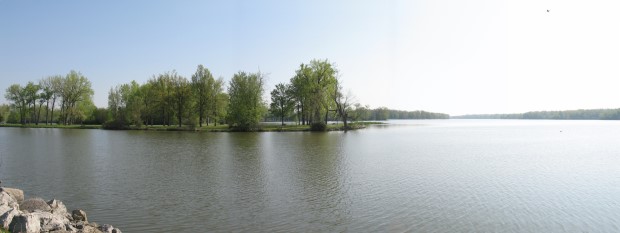
This 1500 acres of water was the most economical feeder lake of the Miami and Erie Canal system, built at a cost of $22,000. The Lake Loramie reservoir and the Lewiston reservoir (Indian Lake), supplied water to the uppermost plateau or canal summit.51 During the era of the canal, water exited the Lake Loramie into the feeder canal. which is located next to Canal Road 1 at S.R. 362.
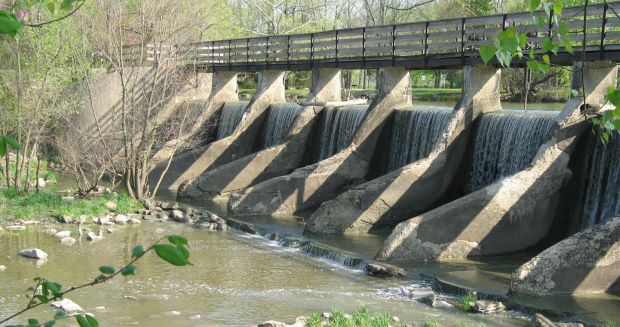
Pictured below is the overflow dam of the Lake Loramie Reservoir which flows into Loramie Creek.
page 51 Source:," Miami and Erie Canal Corridor Association Resource Plan “
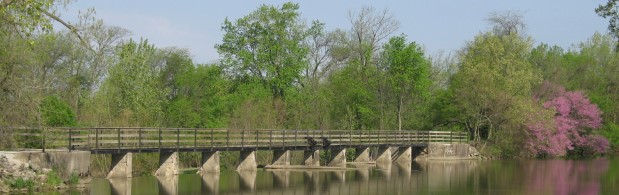
After the dam, the creek turns north, then west, where it previously ran under the aqueduct, below the water level of the Miami and Erie Canal.
Outside Link to: Lake Loramie State Park