Celina to Coldwater Bike Trail
A slide show tour
Disclaimer
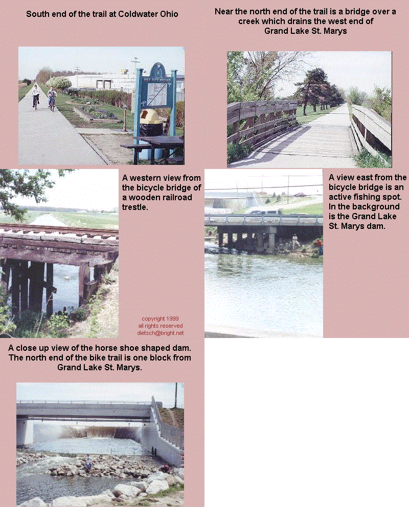
This 4.5 mile paved trail is an average riding bike trail with a few shaded areas. What makes the bicycle trail a little special is what is within a city block or two of each end of it.
The south end of the trail ends at Vine and Fourth Streets in Coldwater. One city block west on Vine Street, and then north one block on 2nd St., would land one at a soft twist Ice Cream shop.
One or two blocks east, of the north end of the trail, is Grand Lake St. Marys.
A parking lot is located at the picnic area at the south end of the State Park on the west side of the lake on W. Bank Rd. Just north of the dam is Schumck Rd. which leads to the north end of the bike trail. When returning from the bike trail, a short cut would be Monroe Rd. which is the first road from the north end of the trail and is south of the golf course. East on Monroe Rd. re-enters the State Park in the area of the boat ramp, which is north of the picnic area. Monroe Rd. may have more visibility when entering W. Bank Rd. than what Schumck Rd. does.