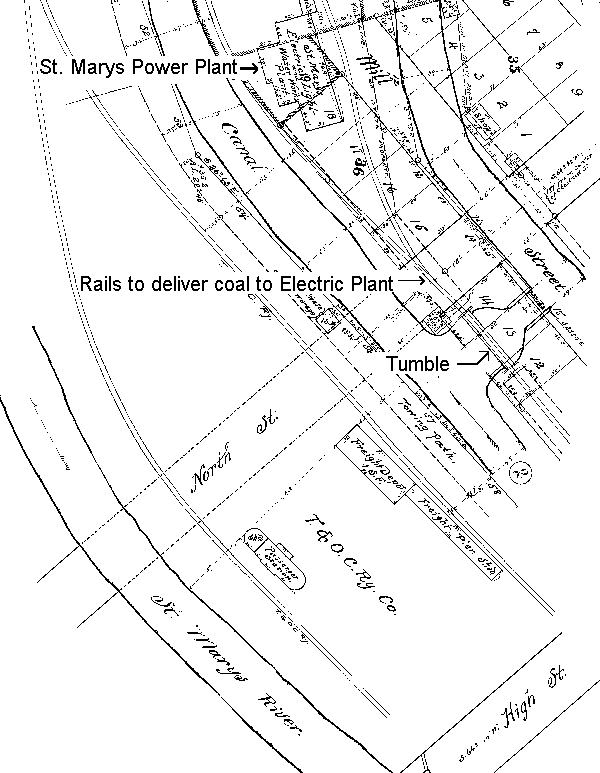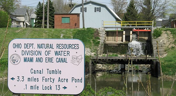
The Canal Tumble was originally constructed to route excess water that was not used by industry to flow from the Hydraulic waterway down to the Miami and Erie Canal. The 2002 Canal Tumble update continues to maintain the water level of the Hydraulic for the last remaining industry just to the north of it. The railroad trestle at the Canal Tumble was once used to haul coal to that industry.
Shown below is a portion of the original plot map which details the Miami and Erie Canal north of High Street. The map includes the former railway turntable, which was used by steam engines to turn around. Today railroad ties are still visible and a railroad trestle goes above the Miami and Erie Canal towpath trail. The plot map details how the Hydraulic Canal once extended a couple blocks further north and powered a saw mill.
The bottom of the map details the original tumble.