The feeder canal is 3 miles long and flows from Grand Lake St. Marys northward through the Miami and Erie Canal until Defiance, Ohio, which had additional water sources. The bridge at this junction allows access to the hiking trails on the west side of the canal.
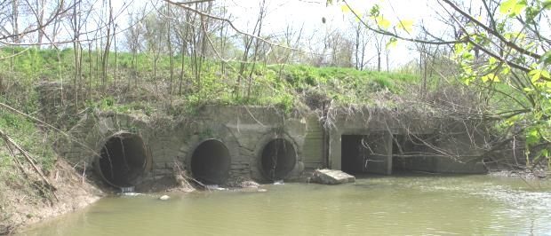
Pictured below is Barrington Creek, a branch of the St. Marys River, which crosses under the feeder canal a 100 yards to the west of the canal junction. Culverts on the left are the original hand-laid stone. Over the years as area field drainage improved with the culverts (to the right) were added to accommodate the additional water.