North from Lock Two
on road "North Lock Two" is the intersection of New Bremen New/Knoxville Rd. which abuts the Miami and Erie Canal towpath.
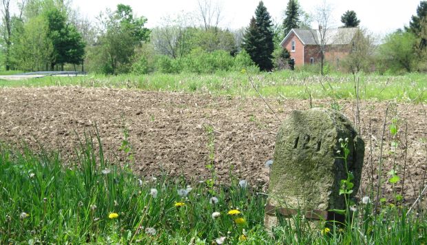
About a 100 yards down the hiking trail to the north is the original
stone marking the location as 124 miles from the south end of the
canal at
Cincinnati, Ohio.
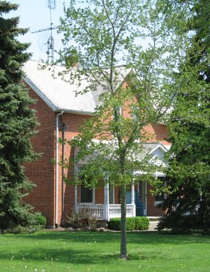
Canal boats gauged their speed based on the mile markers. Limiting such speed lessened erosion from the banks onto the floor of the canal. This lessened the frequency of the canal having to be drained and dredged.Pictured is a canal-era farmhouse, located to the west of the canal. |
 |