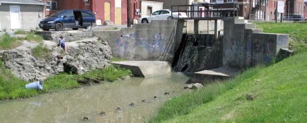
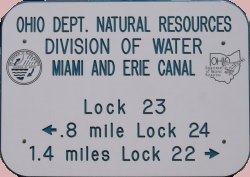
Many Canal locks along the Miami and Erie Canal were made of wood. Some of the posts and iron anchors at the water line are still visible at wooden lock 23 N.
Although original plans specified stone locks, it was impractical to build such a lock in some locations. Stone locks required a stone base to extend down to the bedrock. Areas such as Lock 23 had bedrock levels further below the ground surface than normal.
Pictured behind the remnants of Lock 23 is a spillway that was constructed between 1911 and 1920.* The two small buildings on the west side of Third Street bridge were those used by the bridge tender and the canal boat toll taker. A relocated canal mile post is also located on the west site of the spillway.
When the Canal opened in 1845, Delphos, Ohio, flourished.
With the use of Ohio Canals, area transportation of goods from the East Coast declined from 125 dollars per ton to 25 dollars per ton.**
In 1854 a railroad line from Crestline, Ohio, to Fort Wayne, Indiana, was complete. After that period the use of the canal declined.***
| The towpath where mules once traveled was on the west side of the canal, which is the side of the current hiking trail. State markers highlighting each major attraction are also on the west side. |
 |
*Source:
Sanborn Fire Insurance Maps
|

Viewable Map Printable Maps: Towpath Trail - Delphos - St. Marys
Home [Next]